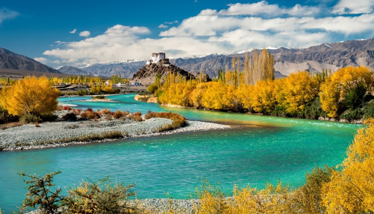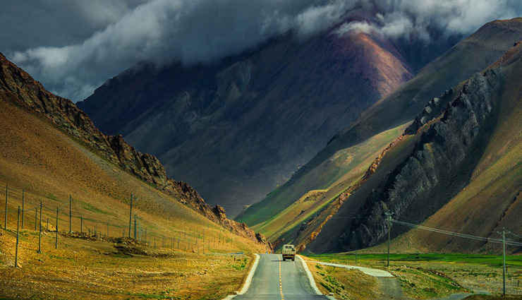
Here are some visiting places in Ladakh listed below:

This is a small village with a TCP and a large military camp on the Drass River, en route to Kargil. The public works Department Rest House has a tourist officer and stands on the right hand side of the road from Srinagar. It can’t be missed as it is directly opposite the Rahi Tea Stall where there is ‘Hot Tea Available Anytime’. Drass is famed for its freezing temperatures and heavy winter snowfalls. In this area the dialect spoken is named after the weather – Hambabs means snowfall. For trekking from Drass to Sanku (Suru Valley).
From Drass to Kargil the road follows the river. At a left-hand curve outside of Drass four 7th century Buddhist bas-reliefs stand next to the road: Maitreya, Avalokitesvera, an equestrian figure and a lotus. Beyond Tashgam the valley narrows and the mountain side on both sides of the river are covered with rocks and pebbles. Shortly before the road from the Drass Valley turns off into the Suru Valley a reasonable bridge, passable by jeeps, crosses the Drass River towards the left. This bridge is barred to foreigners as it leads into a restricted military area.
Kargil was once an important trading post due to its strategic location at strategic location at the intersection of trade routes from Russia to India and from China to the west. Over the last 30 years political changes have considerably reduced its importance. Today it is just a village at the junction of the Drass and Suru Rivers, 20 km from the Indus; a stopping point with hotels, camping facilities and a service station on the road to Leh. The buses to and from Leh stop for the night here. Civilian leave for Leh between 4.30 and 5 am.
If you are contemplating trekking in Zanskar or Ladakh it is worth pointing out that until Padum travelers must live off their stored supplies for virtually the entire distance. Anything forgotten in Srinagar should, therefore, be bought here. Due to the strong religious beliefs of the local population great difficulties accompany the purchase of alcohol.
The small village of Shergol is 33 km from Kargil. The village, on the right hand side of the Wakkha River, is hard to see from the road as it lies behind a mountain. A small Gompa perches half-way up the eastern slope of this mountain. Appropriate to its size the Gompa has only two monks who are tended b a single nun. Some of the room, such as the kitchen, are hewn from the rock and resemble holes more than rooms. At the foot of the mountain, near the 35-houses village (210 inhabitants), there is a less important Gompa.
A further seven from Shergol brings you to this Wakhan valley village. The palace of Rajah Chalon of Mulbekh is on the left hand side of the road. Above the village on the slopes is a double monastery. It’s a difficult ascent, particularly if you are not yet acclimatized to the altitude of Ladakh. Two paths lead to the Gompa and the right hand path (Monastery Mountain to the left) is the easier. Here, as with all Gompas in Ladakh, one should make enquiries’ beforehand in the village as to whether the monks are present.
Often the Gompas may be deserted for days at a time and therefore shut. Only in the mornings and evening can one be sure of encountering lamas who are not engaged in prayer. We were able to put two lamas of Mulbekh Gompa into action by showing them pictures of the Dalai Lama. These pictures of a holy and are haled accordingly – carefully touched, pressed on the forehead and reverentially returned. With amazing speed the lamas then ascended the mountain and opened the Gompas (the Serdung and Gandentse Gompas) for us.
A km beyond Mulbekh, beside the road on the right hand side, is a huge figure of the Matriya, or future, Buddha, cut into the rock. The figure is thought to date from Kushan period, around the time of the birth of Christ. Inscriptions found on the side of the rock are in the Kharosthi script. A new small temple, which partly obscures the figure, was built in 1975.
From Mulbekh the road climbs through a sand hill landscape to the 3718 meter high Namika La. The first village beyond the pass is Kangral; a small collection of houses where it may be possible to obtain fuel Here also a dirt road branches to the left, leading to Stakchey, Samra, Chiktan (with old palace ruins), Sihakar, and Sanjar and along the Indus to eventually meet the Kargil-Khalsi road.
The principal town in the valley of the Kanji Nallah is Bodh Kharbu, a large military camp which stretches put on both the right and left sides of the road. In the rest houses of the PWD, on the left had side of the road, the two traveler’s rooms can sometimes be used by tourists. There are many government projects underway during the beautiful summer moths so your chances of finding a room free are not good.
Above the road at this small town is the heavily devastated Basgo Fort. Basgo Gompa is worth a visit on account of its Buddha figures but, unfortunately, its wall painting have been badly water damaged. The first Gompa has a two-storey high golden Chamba statue in ‘European’ sitting posture. Smaller Chamba statues stand in front of the figure of the white clothed Chamonada. One of the three monks who live below the Gompa in a small house will have the Gompa key.