10 Google Maps Errors You Should Know About
By: Priyanka Maheshwari Sat, 06 Mar 2021 2:53:10
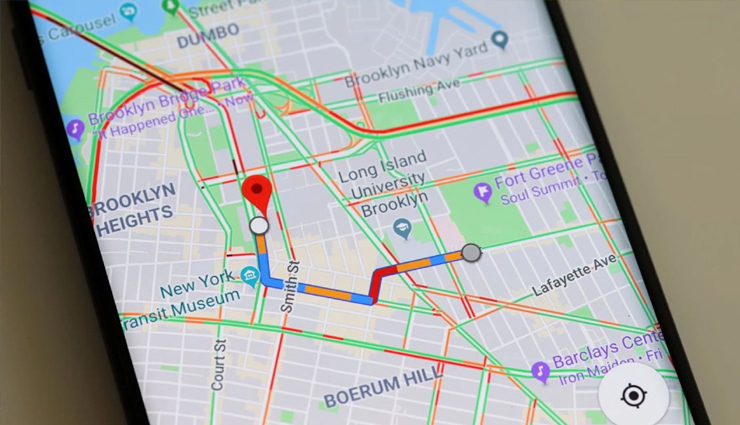
Google Maps is a web mapping service developed by Google. It offers satellite imagery, aerial photography, street maps, 360° interactive panoramic views of streets (Street View), real-time traffic conditions, and route planning for traveling by foot, car, bicycle, air (in beta) and public transportation. In 2020, Google Maps was used by over 1 billion people every month.
We are aware that technology is not perfect, and one of these is Google Maps. Even though errors are expected, there are some serious things that will likely happen caused by Google’s gaffes. Without further ado, these are ten results of Google Maps errors.

# Wrong Turns
Google Maps should lead us into the right direction, however, the opposite had happened for several travelers around the world. Last 2008, the Google Maps began redirecting the tourist to local Laurie Gneiding’s house who are actually searching for New Jersey’s Round Valley State Park.
In 2011, this web mapping service started redirecting travelers to the Storm Mountain Center that were looking for Mt. Rushmore, which is 13 miles away from the retreat center.
# Neighborhood Renaming
Google Maps started referring the Rincon Hill district located near downtown of San Francisco as the East Cut. Silver Lake of LA started appearing as Silver Heights.
In Detroit, the place Fiskhorn erroneously appeared as Fiskhorn on Google Maps. As stated by New York Times, the Google refused to state exactly how such inaccuracy happened.
As mentioned by a newspaper, others tend to be research rebranding and errors by the real estate brokers, whereas others are simply fabrications.
# Disappearing Towns
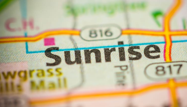
Sunrise Florida suddenly vanished on Google Maps In 2010 during summer, its public places, city hall, businesses, addresses and phone numbers disappeared on Web searches.
People who were using Google Maps to look for Sunrise Florida were being redirected 200 miles afar to Sarasota, Florida. However, the CIO stated that Google finally corrected the glitch.
Furthermore, Saint-Pierre and Miquelon, two French Islands off Newfoundland’s coast, have both vanished from the face of the earth. It’s not that they disappeared entirely, Google Maps clearly claimed that they had been buried underwater.
# International Disputes
Because of error made by Google Maps he dispute between two countries, namely Costa Rica and Nicaragua started. Google Maps mistakenly stated that a certain territory of Costa Rica with their own when they crossed the border.
Costa Rica wanted a border to be back to how it was while Nicaragua wanted Google to do the opposite. This led to a dispute that needed mediation by the UN Security Council and the American States Organization. This event proved that the boundary in Google Maps was not really accurate.
# Tunnel Closures
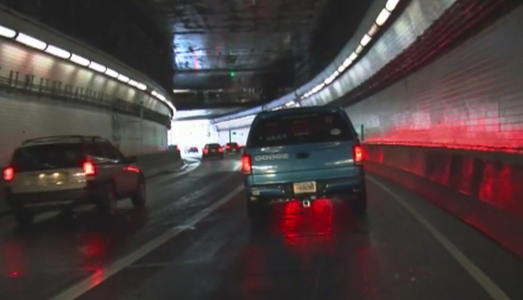
An underwater tunnel was forced to close or shut down by the guards after a foreign cyclist tried to ride through it. A Turkish cyclist followed the route from the Google Maps and ended up within an enclosure that is 4.5m long.
Everything was good until he had reached an incline within the tunnel. That was when the cyclist decided to sit down and stopped. They shut down the tunnel for approximately 30 min as the police tried to save the cyclist.
# Mistaken -Identity Murder
In, 2010 a rich couple (Dennis and Merna Koula) was found dead in their home in Wisconsin; according to the theory, this happened after Google Maps erroneously directed the hitman to their address instead.
As claimed by Daily Mail, investigators suspect that it was most likely not impossible that the real target was Steve Burgess, a local bank president who had received death threats who lived in the victims’ neighborhood.
The 48 hours correspondent, Peter Van Sant stated that you will be redirected to the house address of the Koula’s when you look for Steve Brugess’s address on Google Maps. The correspondent mentioned this during an interview with the couple’s son named Eric Koula and lead investigator named John Christophersen.
# Mislabeled business
In April 2017, the home of Michael McElwee, which is located in Darwin, AU was mistakenly branded to be pop-up pizzeria.
An inundation of people searching for pizza arrived at McElwee’s site, including a deliveryman of a magazine and someone in search of a job.
McElwee then said to ABC Radio that it felt like a stolen identity of his house and being labeled as a pizza store. And the pizzeria that people we’re looking for all those times were actually situated in the park nearby.
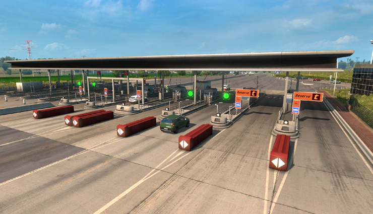
# Toll Roads that are unfinished appeared as open driving routes
In the year 2011, the toll road in Maryland was still unfinished and was supposed to be finished in early 2012. However, Google Maps made a mistake of saying that it’s ready and open for traffic.
The spokesman of AAA-Mid-Atlantic named Lon Anderson said in Baltimore Sun, ”Beware: Everything you read on the internet may not be true,” referring to the error Google Maps had made.
Google also released a statement in response to what Anderson said. They said that they are aware of the error that has been made and is working on that issue to be corrected. They also encouraged all the users to inform them using the tool “Report a problem” if there is a mistake committed by them.
# Demolished Homes
In 2016, there was a home located at 7601 Cousteau Drive that Texa’s demolition company was supposed to raze.
Unfortunately, a home that is situated a block away at 7601 Calypso Drive was demolished instead because of the Google Maps error. The demolition company even refused to give an apology to the victims.
The said company even stated that what happened is not a big deal, terrible, right? This led the local residents to take the issue seriously and post what happened on social media platforms, which is Facebook.
With the criticisms that the company received from the people, at last, an apology was given to the victims.
# Not Safe Stroll Around Town
In 2010, Google Maps directed an LA woman to a 4 lane highway with lots of speeding cars and no sidewalks.
This resulted in a car accident that gained the woman injuries physically, mentally and emotionally.
To get directions, Lauren Rosenberg used the Google Map from her Blackberry going to Utah’s Park City. However, Google Maps led her to Deer Valley Drive with no sidewalks and pedestrian path instead of giving her a safe route.
Before Rosenberg reached the paths and a sidewalk on the highway’s other side, she was already struck by a fast vehicle. In addition to that, there was a packed of snow in the walking path, thus not being open to the pedestrians during that time.


